Trying to figure out which San Mateo neighborhood fits your family can feel like a full-time job. You want parks and everyday convenience, an easy commute, and schools that match your plans. This guide gives you a clear, local look at how the city’s most popular areas stack up on those family priorities. You’ll find quick neighborhood snapshots, schooling and enrollment tips, and commute details so you can narrow your search with confidence. Let’s dive in.
Why San Mateo works for families
San Mateo sits midway between San Francisco and Silicon Valley, so you can balance work and weekend life without long drives. Three nearby Caltrain stations make rail commuting practical, with frequent service and different train types to match your schedule. You can check times and options on the official Caltrain schedules. If you drive, US‑101 and I‑280 are the primary north‑south routes, and SR‑92 connects to the San Mateo Bridge.
You also get strong day-to-day amenities. The city maintains about 200 acres of parks, playgrounds, sports fields, and community centers, which you can browse on the City of San Mateo Parks and Facilities page. For schools, most K–8 public campuses are within the San Mateo–Foster City Elementary School District, and high schools are in the San Mateo Union High School District. Use the district tools at SMFCSD and SMUHSD to confirm address-specific assignments and programs.
Neighborhood highlights for family life
Below are five areas many families consider, each with a distinct feel. Use these snapshots to match your daily routine, commute, and housing preferences.
Bay Meadows and the Hillsdale area
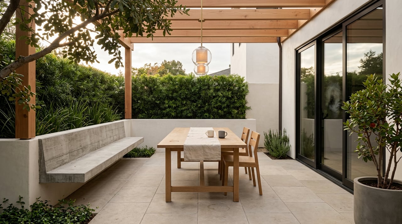
Bay Meadows is a newer, planned neighborhood built around walkability, with pocket parks, playgrounds, and nearby restaurants and groceries. The open spaces at Bay Meadows, including Bay Meadows Park, give kids and adults easy places to play and unwind. Explore the network of parks on the Bay Meadows parks overview.
The modernized Hillsdale Caltrain Station anchors the area and is an easy walk from much of Bay Meadows. Learn more about the station project and access points on Caltrain’s Hillsdale Station update. Homes here are largely newer condos and townhomes with contemporary finishes. Yards tend to be smaller than in older westside neighborhoods, which can be a fair trade if you want low-maintenance living near transit and retail.
Families appreciate the straightforward school access within the local public districts. Always confirm the exact school for a given address through SMFCSD and SMUHSD. Some households also consider private options; The Nueva School operates an Upper School campus in San Mateo.
Beresford, Aragon, and San Mateo Park
These established neighborhoods feature tree-lined streets and many mid-century or pre-war single-family homes. Beresford Park is a community hub with tennis, bocce, a skate plaza, and a playground that serves a wide age range. Get a feel for amenities on the city’s page for Beresford Park.
Commuters can reach El Camino Real quickly and connect to Caltrain at Hillsdale, Hayward Park, or San Mateo stations. Housing here generally includes larger lots and classic architecture. Public high school options include Aragon High, which is commonly cited by local families. Use the SMUHSD locator to confirm the current high school for any specific address.
Laurelwood, Sugarloaf, and Highlands
If you want quick trail access and a more suburban hillside feel, start here. Laurelwood Park connects into the Sugarloaf Mountain open space, so you can head out for an after-dinner loop or a stroller-friendly nature walk. You’ll find neighborhood parks sprinkled throughout, along with a mix of single-family homes and larger lots.
Public K–8 schools are within SMFCSD, so check the district site to confirm attendance areas for your exact street. Many families choose this area for the backyard and trail lifestyle paired with a reasonable hop to I‑280 and SR‑92.
Downtown and Central San Mateo
Downtown puts you close to restaurants, services, and the main library, with errands and dining often walkable. Housing includes smaller-lot single-family homes, condos, and apartment options that can work well if you want less yard and more urban convenience. There are several neighborhood parks and community centers nearby, many listed on the City Parks and Facilities page.
Caltrain’s San Mateo Station sits just west of downtown, so train access is straightforward. As always, verify public school assignments by address through district tools.
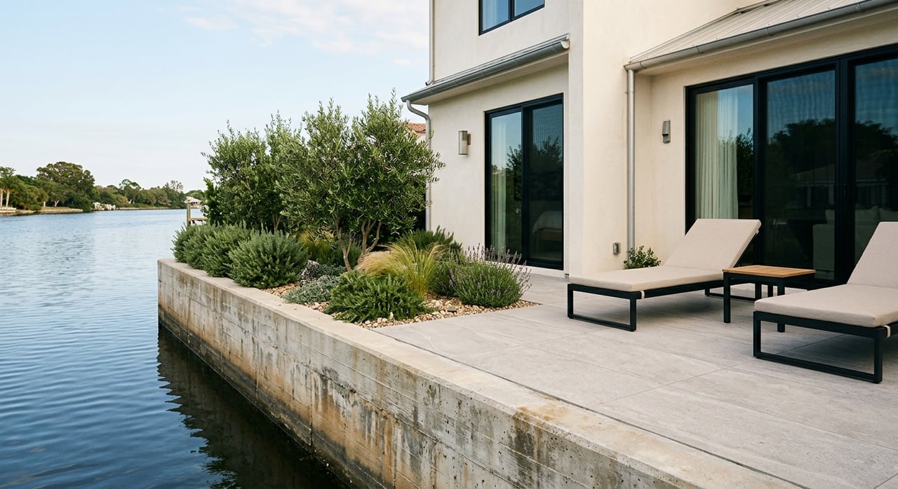
Shoreline, Lakeshore, Parkside, and Mariners’ Island
San Mateo’s bayside neighborhoods draw families who enjoy waterfront recreation. Parkside Aquatic Park and the Marina Lagoon area offer kayaking, paddleboarding, and seasonal gatherings, and Coyote Point Recreation Area is only a short drive for playgrounds and bayfront paths. Lakeshore Park provides play areas and open lawns for everyday outings.
Homes here range from mid-century single-family houses to condos and townhomes. You get good access to US‑101 for commuting, and many families balance shoreline activities with quick trips to downtown or Hillsdale for shopping and services.
Schools and enrollment: what to check
School pathways in San Mateo depend on your exact address. Before you shop, take five minutes to confirm your options.
- Use the San Mateo–Foster City Elementary School District tools at SMFCSD to look up K–8 boundaries, registration steps, and program information.
- Check high school assignment, enrollment, and programs on the San Mateo Union High School District site at SMUHSD.
- Notable local public schools often referenced by families include Aragon High, Hillsdale High, Baywood Elementary, Borel Middle, and Abbott Middle. Always confirm the current feeder pattern for your address.
- Considering private school? The Nueva School operates in the area. Review admissions timelines and commute logistics on the Nueva School site.
Parks, trails, and everyday play
San Mateo’s parks network makes it easy to get outside. Explore playgrounds, fields, courts, and community centers on the Parks and Facilities list. Beresford Park is a standout for multi-sport facilities and a skate plaza. Downtown and central neighborhoods benefit from smaller pocket parks and easy access to the main library.
For bigger adventures, the Sawyer Camp segment of the Crystal Springs Regional Trail is a paved route ideal for strollers, scooters, and bikes. Learn about route details and parking on the county’s page for the Sawyer Camp Trail. On the bay side, families often pair playground time with water views at Coyote Point Recreation Area and make the most of the Marina Lagoon for seasonal paddling.
Commute and getting around
You have options. Caltrain serves San Mateo at three stations: San Mateo, Hayward Park, and Hillsdale. Service types include local, limited, and express, so it pays to check the Caltrain schedules for the best train from your home station.
If you drive, US‑101 and I‑280 are the primary north‑south routes, with SR‑92 connecting east‑west. Managed express lanes on 101 through San Mateo County can help with consistency at peak times. See the latest on the San Mateo 101 Express Lanes. SFO is a short drive, though timing varies by time of day, so plan buffers for early flights.
How to choose your best-fit neighborhood
Use these simple steps to narrow your search:
- Map your daily routine. List school, work, childcare, and activities, then circle neighborhoods that cut down on backtracking.
- Test the commute. Ride Caltrain at your likely departure time or drive your route during a typical rush to compare options.
- Walk the parks. Spend 30 minutes at the closest playground or green space to see if it matches your family’s energy.
- Match home type to lifestyle. Decide if you prefer a larger yard and classic single-family layout or low-maintenance townhome living near retail and transit.
- Confirm schools early. Use SMFCSD and SMUHSD locators to validate assignments and note any program applications or deadlines.
A trusted partner for your San Mateo move
Finding the right fit in a competitive market takes planning, prompt access, and a local network. With 15+ years of Mid‑Peninsula experience and a marketing-led, concierge approach, I streamline the process while you stay focused on family and work. From targeting the right streets and arranging private showings to handling inspections, prep, and polished presentation when you sell, you get end-to-end support with Compass resources behind you.
Ready to explore San Mateo’s neighborhoods with a clear plan and a steady advocate at your side? Connect with Debbie Elowson to start your search or discuss next steps.
FAQs
Which San Mateo neighborhoods are walkable to Caltrain?
- Bay Meadows and the Hillsdale area are designed around the modernized Hillsdale Station, while Downtown and Central San Mateo offer easy access to the San Mateo Station; check Caltrain schedules for service details.
How do public school boundaries work in San Mateo?
- Most K–8 schools are in the San Mateo–Foster City Elementary School District and high schools are in the San Mateo Union High School District; confirm your exact address assignment on SMFCSD and SMUHSD.
Where can my kids play and take classes nearby?
- Start with the city’s Parks and Facilities for playgrounds, sports fields, pools, and community center programs, then add weekend outings to the Sawyer Camp Trail for biking and strolling.
What are the tradeoffs between Bay Meadows and westside areas like Beresford or Aragon?
- Bay Meadows offers newer homes, smaller yards, and strong walkability near Hillsdale Station, while westside neighborhoods often provide larger lots and classic single-family layouts with easy access to Beresford Park and multiple Caltrain options.
How can I reduce my highway commute time?
- Compare routes on US‑101 and I‑280 at your typical departure, and consider the San Mateo 101 Express Lanes; for some routes, Caltrain’s limited or express service can be faster door to door.